

What We Do
PIXAM Drone AgriPixel software is an integrated software solution which can support you in different phases of your work. The aim of AGRIPIXEL is to help operatives improve the management of agricultural activities and traceability or monitoring processes through the platform’s databases, and the use of drones ,plus pixam’s artificial intelligence algorithms
- You just need to follow few simple steps.
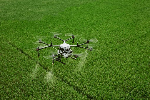
Use your drone and camera to capture the crops in your fields. Fields could be divided between different areas and or projects - Upload photos on the cloud, using your pixam account.
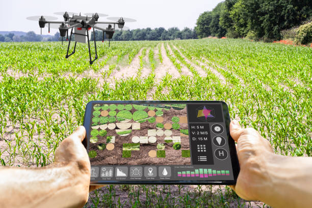
- Display the orthophoto time series analysis data, through the AGRIPIXEL clouds software which is able to display the health of your crops in your fields.
- Generate Health analysis and generate trends between the different orthophotos
Advantages
Unlimited cloud storage
Unlimited cloud space to upload and store your drone generated photos and created geo-orthophotos.
Crop health monitoring
Generated orthophoto maps are used to identify the most stressed areas using deep learning and spectral indexes such: NDVI, EVI, SAVI, NDWI, GNDVI, or VARI index, if your drone is not equipped with an Infrared sensor.
Use of Multispectral cameras
AgriPixel software could be used with different drone models and various multispectral cameras, including RGB/IR/NIR/NDVI cameras.
Timeseries Data
Timeseries analysis, stored in a digital logbook to compare crop cycles from one period to another.
Crop border detection
Crop border and varieties are automatically detected by using algorithms based on pixel level segmentation and Convolutional Neural Networks (CNN).
Farm Work Automation
Move from manual work to automation :Eliminate the intensive work required for inspection, and use a system able to work round the clock.