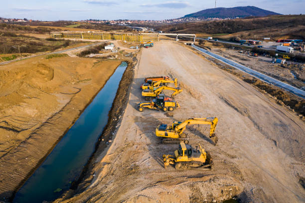
PIXAM Drone LinePix software is used to create accurate geo orthophotos for accurate and precise measurements.
LinePIX can provide centimetre-level accuracy measurements and can cover far larger areas much faster than standard ground-based laser surveys. In addition, the software can generate high-resolution orthometric data and GIS-grade outputs that are suitable to use in BIM, CAD, or ESRI platforms. A measuring mapping survey that would normally take several surveyors and days to accomplish may now be taken and transmitted in a matter of hours.
LinePIX could be integrated with both Ground Control Points (GCPs) and RTK / PPK technologies for better accuracy.