GNSS is the foundation.
Everything else is built on top.
PIXAM designs and builds precision GNSS infrastructure, autonomous field robots, drone navigation systems, AI signal intelligence and professional survey tools — all connected by one source of ground truth: the GNSS fix.
Every PIXAM product starts with a GNSS fix.
GNSS is not one of our products — it is the infrastructure everything else runs on. We encode and decode RTCM correction streams, operate reference stations, build precision rovers, and deliver centimetre-accurate positioning to every system we make. From that single source of ground truth we build robots that navigate autonomously, drones that hold precise position, survey platforms that record real-world measurements, and an AI engine that interprets what the signals are actually saying — in real time, in the field. No simulation. No approximation. Every decision in every PIXAM system traces back to a verified GNSS observation.
A complete range of GNSS-grounded products
Six distinct product areas. Each independently capable. All sharing the same GNSS-first foundation and connected through the WUKS AI intelligence layer.
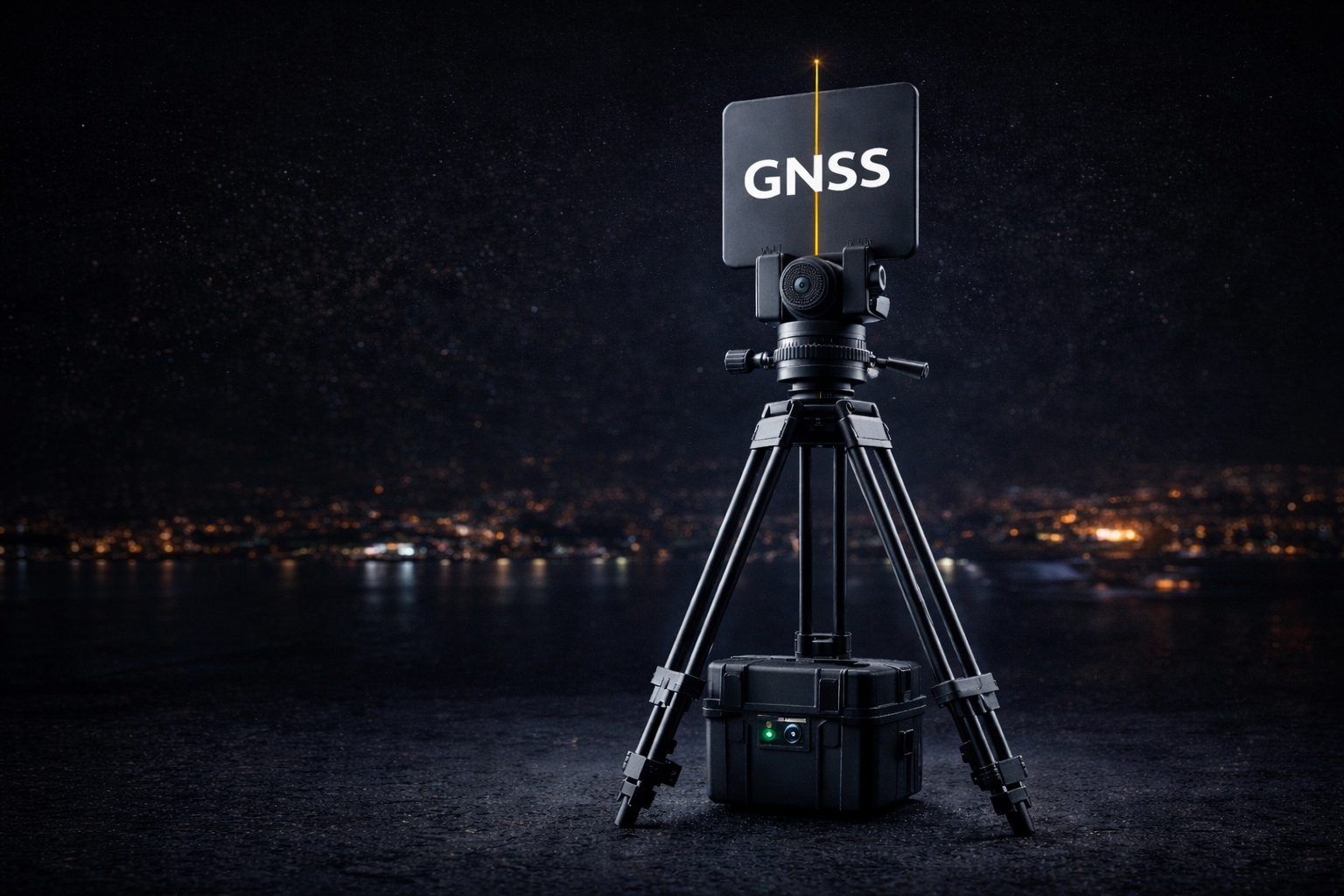
GNSS Systems & RTK Pipelines
Base stations, rovers, RTCM 3.x encoding and decoding, NTRIP caster and client integration, multi-constellation signal quality monitoring and real-time correction routing. The hardware and software backbone of precision positioning.
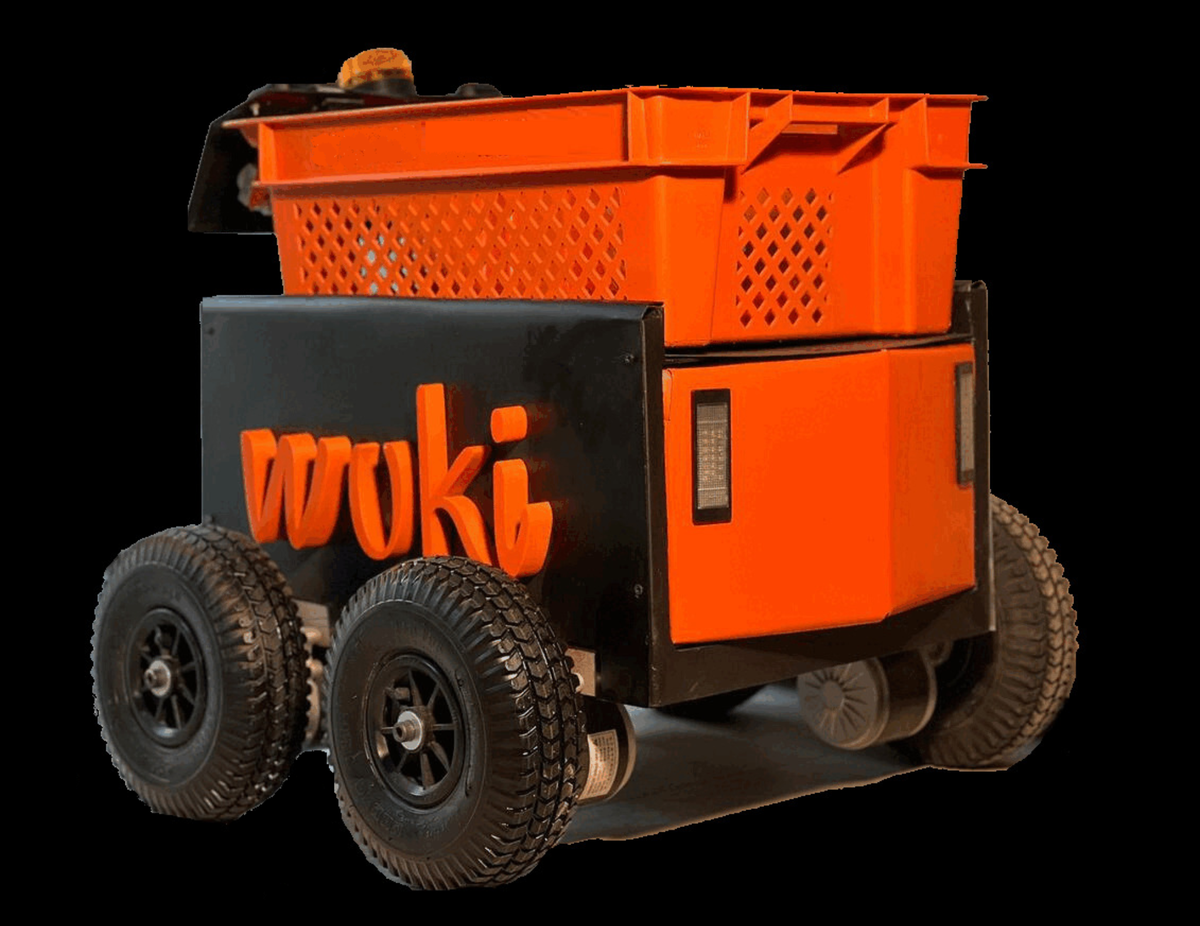
Autonomous GNSS Robots
WUKI, KNOX and the GNSS Crawler are purpose-built outdoor platforms driven by centimetre GNSS positioning and closed-loop control from WUKS AI. Designed for repeatable, mission-critical operations in demanding field environments.
GNSS Drone Navigation
Precision aerial positioning for mapping, inspection and mission-critical work. WUKS AI monitors in-flight GNSS quality, assesses RTK fix confidence in real time and delivers waypoint commands and safe-state triggers over MAVLINK.
GNSS Survey & Drawing Office
Professional survey platform for field teams. Every measurement originates from a live GNSS receiver — survey markers, GPS polylines, route traces and session logs are captured directly from receivers and visualised in real time on an interactive drawing office map. WUKS AI assists on-platform.
WUKS AI Engine
The real-time intelligence layer across every PIXAM system. WUKS AI classifies satellite observations, detects NLOS and multipath, scores positioning confidence and drives autonomous decisions — all under 50 ms, trained on real PIXAM field data, deployable at the edge.
Logic Tool & Integration
Logik is PIXAM's visual programming environment — wire GNSS confidence outputs from WUKS AI into conditional logic flows, trigger mission actions and integrate with any system via MQTT, ROS and REST. Field-level automation without writing code.
WUKS AI — one engine powering every PIXAM system
WUKS AI is PIXAM's real-time AI engine. It ingests raw GNSS observables, RTCM correction streams, IMU data and mission context — then simultaneously delivers positioning confidence scores, motion commands and abort triggers to robots, drones, survey platforms and logic tools.
Built and validated entirely on real PIXAM field data. Not simulations. Not synthetic datasets.
Professional survey data — sourced directly from GNSS receivers
Every coordinate in our survey platform comes from a live GNSS receiver in the field. Survey markers, GPS polylines, session traces and positional logs are captured at centimetre precision and streamed in real time to an interactive drawing office — no manual entry, no post-processing delay, no approximation.
Multi-session management, surveyor attribution, route editing and one-click export to KML and GeoJSON. WUKS AI is embedded as an on-platform assistant — query your dataset in natural language, identify coverage gaps and navigate sessions without leaving the map.
Diginto.tech — where PIXAM technology meets the wider community
Diginto.tech is the open platform built alongside PIXAM hardware. Tools like Logik, Orbiter, NTRIP and Konversion live here alongside a growing community of GNSS engineers, robotics builders and field surveyors sharing datasets, workflows and real-world field knowledge.
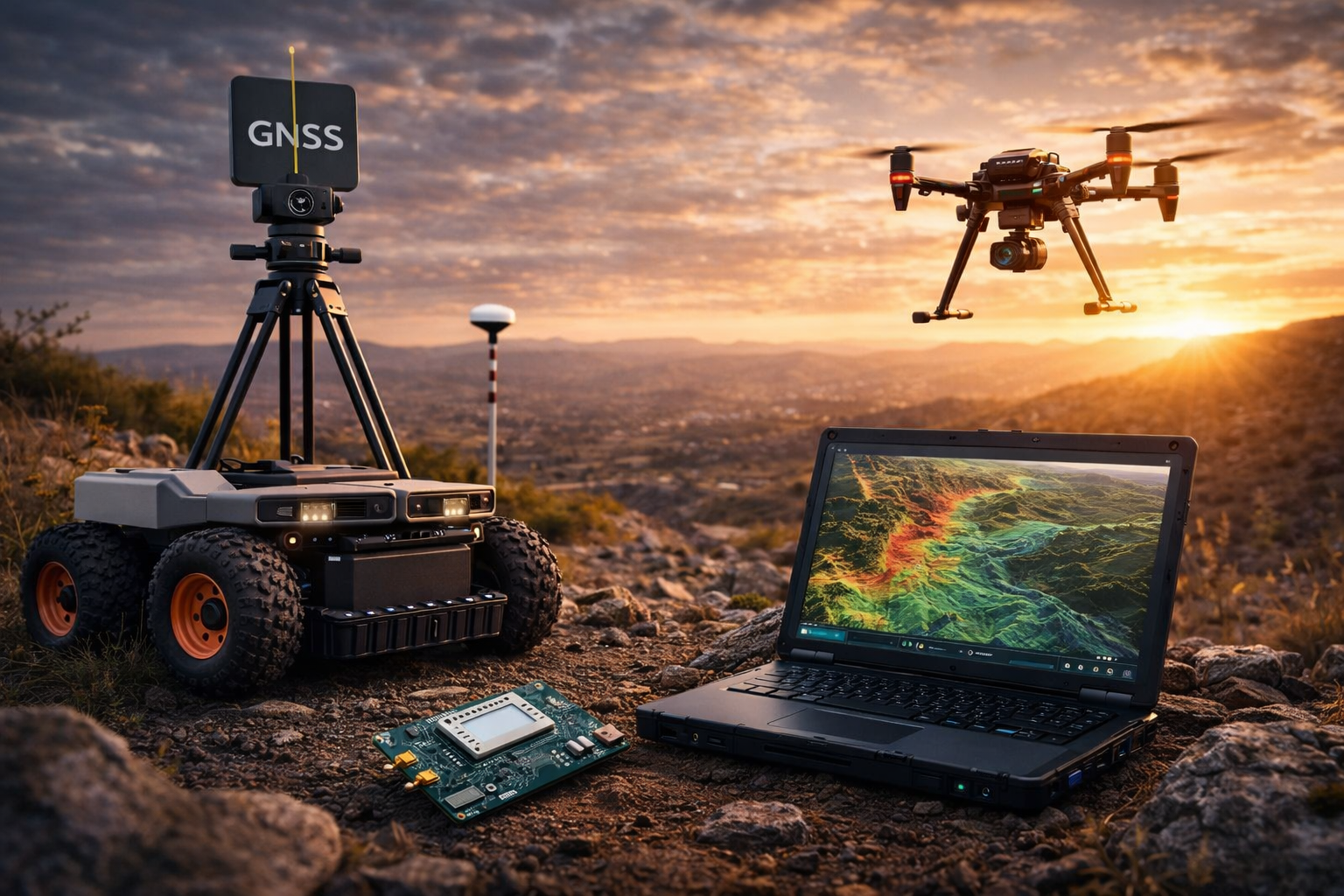
Built on real hardware. Validated in real conditions.
Every PIXAM product is designed, built and tested in the field — not in simulation. The hardware below runs the same software stack as production deployments, in the same outdoor conditions that break simulation-trained systems on day one.